
Service Overview
Precision Mapping for Informed Decisions
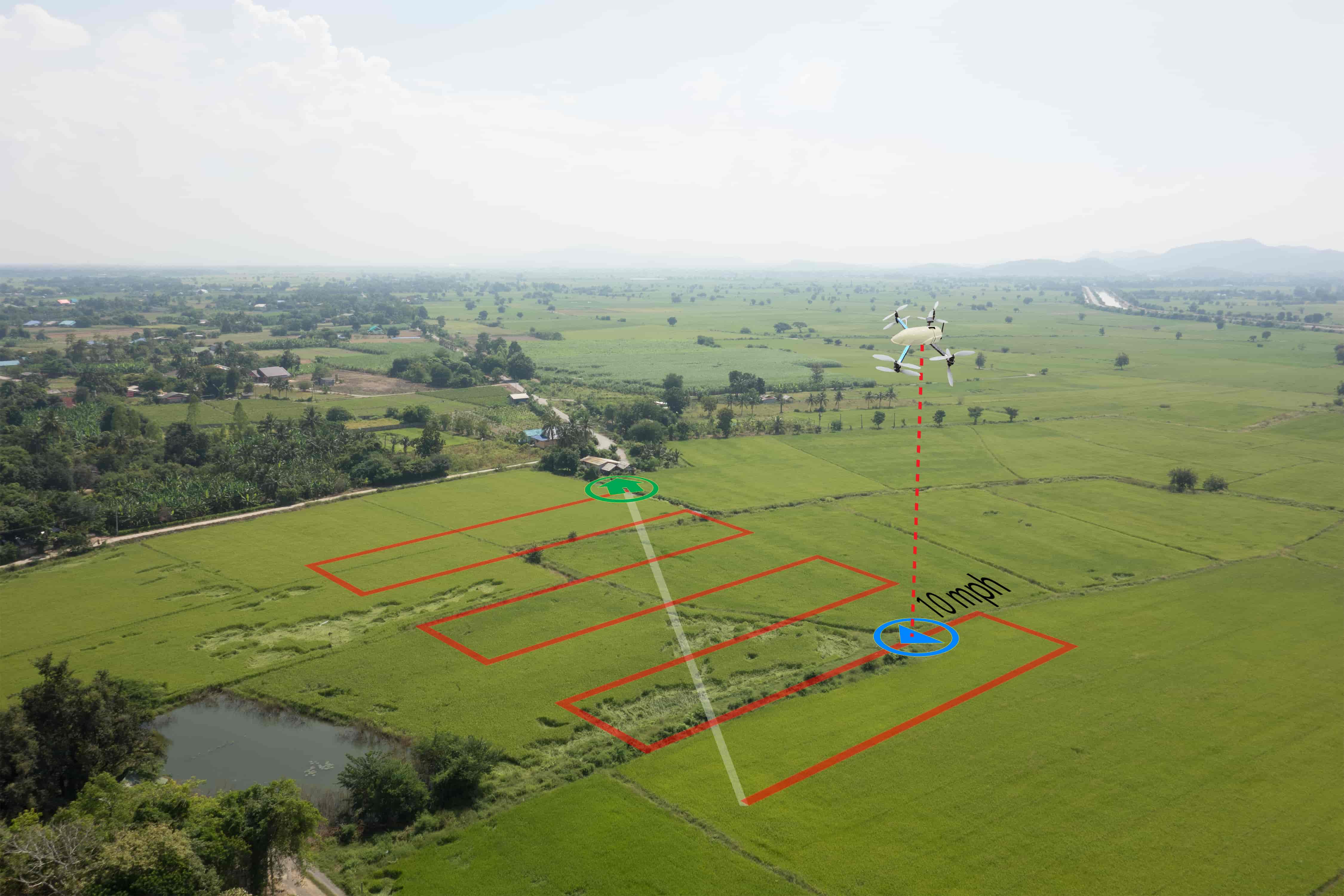
Our drone-based mapping and survey services provide highly accurate geospatial data that transforms how you understand and interact with your environment. Using advanced photogrammetry techniques, we create detailed maps, 3D models, and topographic surveys with centimeter-level precision.
Whether you need to survey a construction site, map property boundaries, or monitor environmental changes, our drone technology delivers comprehensive data in a fraction of the time and cost of traditional survey methods, all while maintaining exceptional accuracy.
Key Features
Comprehensive Mapping Solutions
Our mapping and survey services utilize cutting-edge drone technology and software to deliver precise, actionable geospatial data.
Topographic Surveys
High-precision elevation data and contour mapping for accurate terrain analysis.
Orthomosaic Mapping
Detailed aerial imagery stitched together to create precise, measurable maps.
3D Modeling
Comprehensive three-dimensional models of terrain, structures, and landscapes.
GIS Integration
Seamless integration with Geographic Information Systems for advanced analysis.
Applications
Industry Applications
Our mapping and survey services provide valuable data across multiple industries, enabling better planning, monitoring, and decision-making.
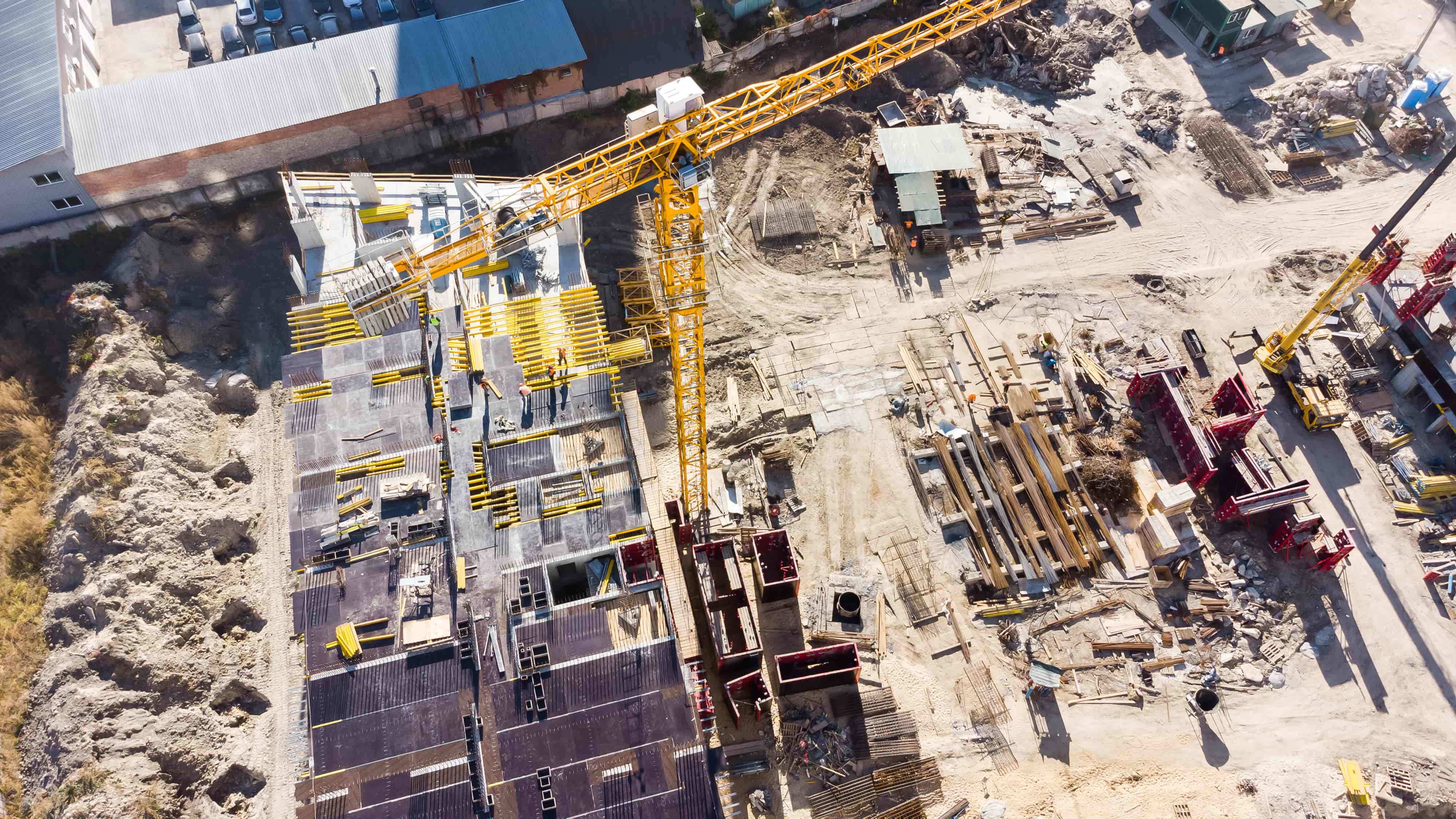
Construction & Infrastructure
Monitor progress, calculate volumes, and plan site development with accurate aerial data.
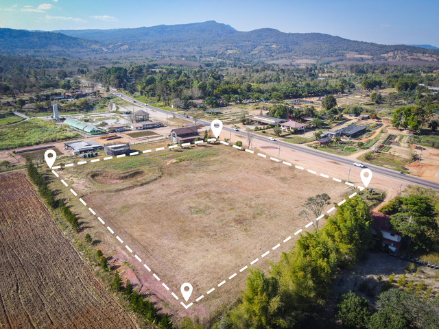
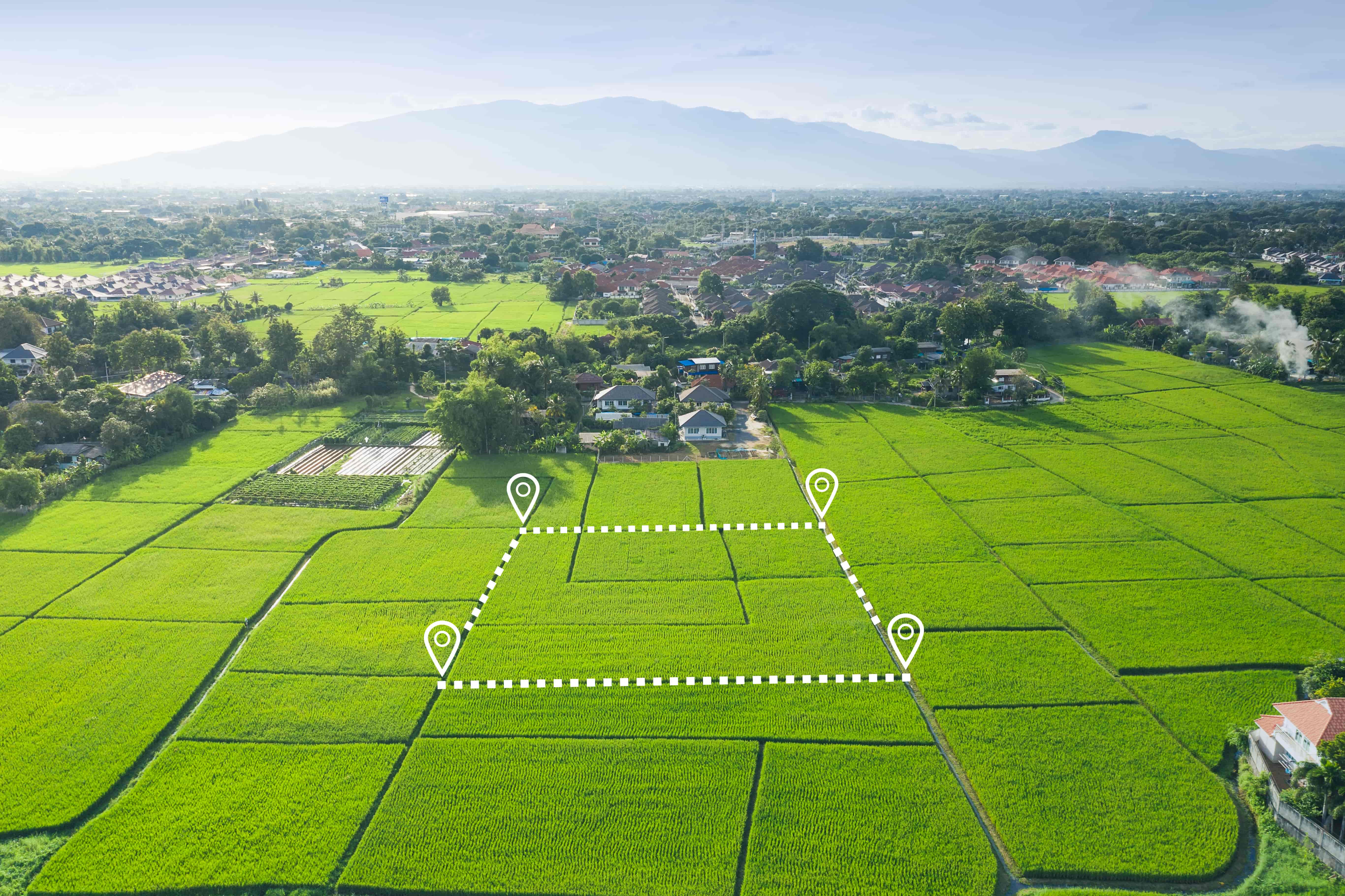
Land Development
Create detailed land surveys for property development, planning, and management.

Environmental Monitoring
Track changes in landscapes, coastlines, and natural resources over time.
Why Choose Us
Our Advantage
Expert Surveyors
Our team includes licensed surveyors and GIS specialists who ensure accurate data collection and analysis for every project.
Advanced Processing
We use industry-leading software to process raw data into detailed maps, models, and actionable insights.
Rapid Delivery
Receive processed data within 48-72 hours of collection, with expedited options available for urgent projects.